The First-Year's Guide to the Metro
The métro is the fastest and most efficient way to get places within the city. But navigating through it can be a bit tricky, with the many lines, the directions they go in, as well as the fact that it's always crowded. Throw in the foreign language, and it becomes an intimidating task making anyone want to order an Uber and give up. However this article will give you a breakdown on what to do to make the métro your favorite way to get around Paris.
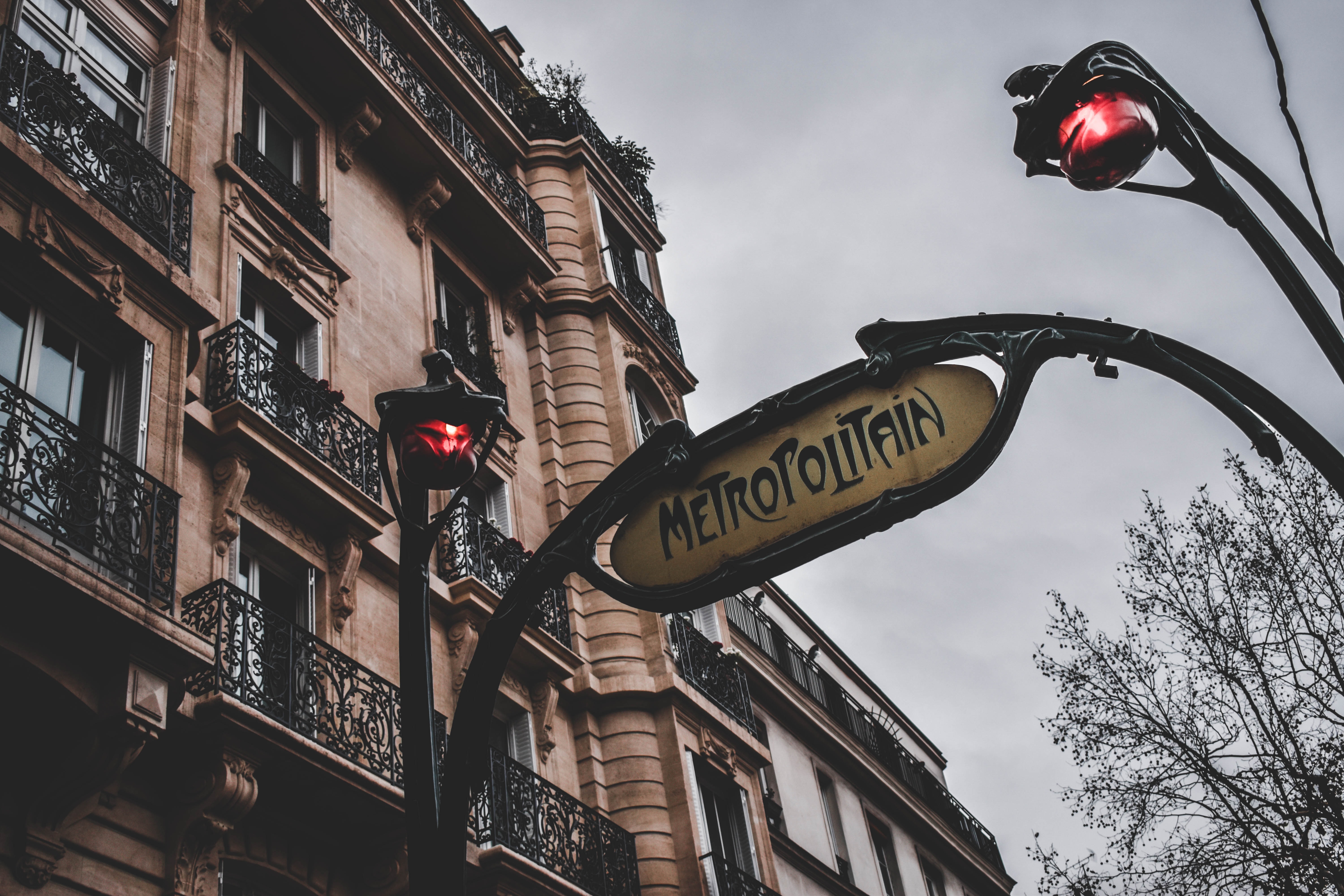
Where's the nearest station?
The old fashioned way is to ask for directions or just walk around until you find the big Metropolitan sign with stairs that lead down. But it's 2022, and apps are our best friends, so you can either use Google Maps which gives you directions on where to go or the app CityMapper. The RATP (which is the public transport authority for the region) also has a great app called "BonjourRATP," which includes bus and tram routes too.
How do you use the métro?
Assuming you don't have a métro card, you'll find kiosks at the entrance of most métro stations around the city where you can buy tickets. They're €1.90 a piece, or a carnet (which is 10 tickets) for €14.90. But be warned that these tickets are soon to disappear, and the RATP is already working on getting rid of the machines that sell them.
If you're going to be sticking around for longer than a week, though, a weekly, monthly, or even annual pass can be a more economical option depending on how often you take the métro - and for students, these can come at an even further discounted price. There's also the Liberté+ card, which you can use as needed, and pay monthly only for the rides you took.
Once you're ready, go to the turnstile and either scan your card or insert the ticket, and walk through. DO NOT throw away your ticket unless you want to risk getting fined.
From there, depending on your route you will ride the train accordingly. On all three navigation apps, you'll find the number of the train you're supposed to board, along with the direction (which is usually discussed in terms of that train's terminus, or endpoint). Signs along the walls of the métro can also help you out here, and do a great job of showing you where each métro line goes.
When you get to your destination and are ready to leave the métro, you'll walk through one-way gates, and simply head out. Once you go through the gates, you'll need another ticket if you'd like to ride again, so make sure you're not leaving until you're ready to.
Breakdown of the most popular Métro Lines
There are a few key lines to know to get to AUP, and around the city. Not all métro lines are created equal though, and it's always worth familiarizing yourself with the métro line nearest to you.
M8 Balard - Pointe du Lac
")
Line 8 of the Paris métro connects the southwest of the capital with the city of Créteil, located in the southeast suburbs, passing through Place de la Concorde and the Paris Opera. It is one of the longest métro lines in the Paris network, and twith 38 stations it serves the largest number of stations, so it's fitting that approximately 100 million passengers use métro line 8 each year.
Conveniently, it's also the closest line to AUP's campus. The station La Tour-Maubourg is located right near the Grenelle building on campus, so it is definitely an AUP staple, and the Invalides station is located only an 8 minute walk from Quai d’orsay and Combes buildings.
M1 La Défense - Châteaux de Vincennes
")
Line 1 is one of the only automated lines of the Paris métro and crosses the capital from east to west. It also has some stops where it is outdoors so you can get nice views of the city.
The line connects to the most touristic places in Paris, starting off at La Defense, a more modern area of the city which is often described as the Wall Street of Paris because of its roots in the business industry. The line then extends to Charles de Gaulle-Étoile, which is located right at the Arc de Triomphe, and passes through many must-visit spots such as The Champs-Elyseé with three stations all across. It also hits the Tuileries, which is one of the most beautiful parks located right at the Louvre museum. Farther down the line you find Châtelet, which is a very local place with affordable cafés and many thrift stores. Adding on, Bastille station is right at the place de la bastille and is a historic area with bloody history, particularly during the French Revolution.
With more than 200 million passengers each year, it is the busiest métro line in the Paris network, and it runs just across the Seine from the AUP campus. If you're headed to the Quai or Combes, it's only a little further than either of the stations from the 8, and is worth a scenic walk every now and again.
M2 Porte Dauphine - Nation
")
Line 2 of the Paris métro serves the northern part of the capital, following a semicircle from the Avenue des Champs-Élysées to Nation. M2 line is also fully automated. Considered to be one of the cleanest métro lines, it's not as crowded as other lines and known to be one of the calmest.
It leads to Victor Hugo which is a very popular street in the 16th Arrondissement. It also connects to Charles de Gaulle-Étoile right at the Arc de Triomphe. The line extends to Pigalle, a very alive neighborhood, very touristic and known for its night life. The station of Anvers leads directly to Montmartre neighborhood and is right at the Sacré-Coeur, one of the most beautiful and well known cathedrals in Europe.
M6 Charles de Gaulles Étoile - Nation
")
Line 6 of the Paris métro serves the south of the capital in a semicircle from the Avenue des Champs-Élysées to the Place de la Nation. It is 13 kilometers long, and more than 100 million passengers use it every year.
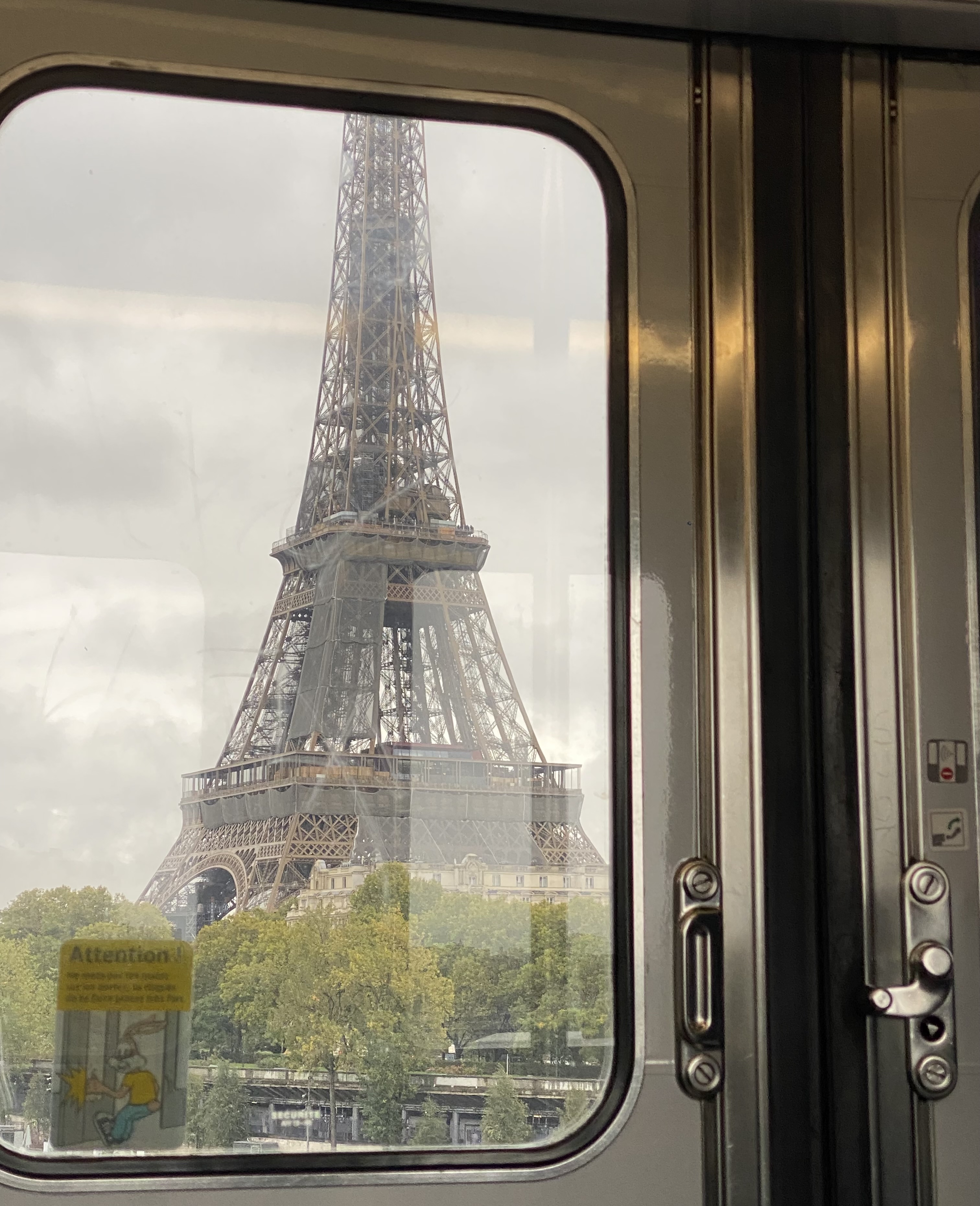
Métro line 6 runs mostly above ground and has some of the best vibes of any of the lines, despite being less high-tech than the automated ones. In addition to being bright most of the time, it has a fantastic view of the Eiffel Tower from some angles, which is a great wow factor when your friends and family come to visit. It's of course very touristic as well, with two stations (Bir Hakeim and Trocadero) that let out right near the tower.
M9 Pont de Sèvres - Mairie de Montreuil
")
Line 9 of the Paris métro connects the city of Boulogne-Billancourt, in the southwest of the capital, to Montreuil, a city in the eastern suburbs of Paris, passing through the Eiffel Tower and the Avenue des Champs-Élysées.
M9 is the busiest métro line, and there, every hour is rush hour, so you'll be lucky if you get on and find a seat. That said, Alma-Marceau station is located right across the Pont de l'Alma, and with a short walk leads to the Quai d’Orsay and Combes buildings on campus.
Its one of the longest lines out of the 16 and connects to every line. With 130 million passengers using it every year, it is also one of the most used.
At the end of the day, the best métro line is the closest one to you. So get a ticket, hop on board, and enjoy the ride.


